
The Narváez Expedition in Galveston County and Southeast Texas
The Narváez Expedition in Galveston County and Southeast Texas
Introduction
This article identifies the presence of survivors of the Narváez Expedition in southeast Texas, particularly Galveston County.
None of Alvar Nuñez Cabeza de Vaca's account of the expedition, La Relación, is set in Galveston County. The other record of the expedition, known as the Joint Report, makes only one clear reference to it. Still, it seems likely that at least forty to fifty members of the expedition visited Galveston County between November 1528 and April 1529. They consisted of two parties of the expedition: Governor Narváez's boat and the castaways from the Isla de Malhado.
Map of the Coast of Southeast Texas
[-]Collapse Map [+]Expand Map
Order your copy of The Account of Cabeza de Vaca: A Literal Translation with Analysis and Commentary, translated by David Carson of TexasCounties.net, available in E-book and paperback formats.
Narváez's Boat, November 1528
The expedition chronicles do not supply any information about Governor Pánfilo de Narváez's boat between the time that it became separated from Cabeza de Vaca's boat on the Gulf of Mexico and when it met Comptroller Alonso Enriquez and his men walking along the Texas coast. Therefore, it is impossible to discuss Narváez's whereabouts between those two events without engaging in some speculation. Nevertheless, the chronicles do supply enough information about the movements of the other boats and parties of the expedition to allow us to build an informed hypothesis. As explained in our article, "Tracking the Narváez Expedition's Five Boats on the Gulf Coast," Cabeza de Vaca last saw Narváez's boat on November 1, 1528, three days' travel west of the Mississippi River. The most likely location of this encounter was off the coast of Terrebone Parish, Louisiana. When Cabeza de Vaca last saw Narváez, he was ordering his men to row hard in an attempt to reach the shore. Cabeza de Vaca and his men also rowed, but they could not keep up with him, and they ended up sailing on the open seas for four and a half more days.
The texts tell us that Narváez's boat reappeared off the coast of Texas between a river where Enriquez's boat wrecked and a large inlet. The river was probably the San Bernard in Brazoria County, and the inlet was certainly Cavallo Pass. (For more information, see our article, "Identifying the Inlet of Espíritu Santo.") The governor was able to take his men across the pass, come back for Enriquez's men, and take them across the pass, seemingly all on the same day that they met. This implies that they met on the Matagorda Peninsula. Even if there was the passage of a day or more between the day they met and the day they crossed Cavallo Pass, they certainly met somewhere on the coast of Matagorda County. This meeting occurred before Enriquez's men had time to walk to the end of the Matagorda Peninsula themselves, and before a bitterly cold change came in the weather in mid-November. Coming up with an exact date for this meeting involves some guesswork, but it had to have been on or around November 12, plus or minus no more than a couple of days.
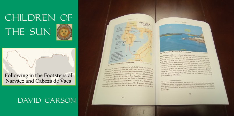
Order your copy of Children of the Sun: Following in the Footsteps of Narváez and Cabeza de Vaca, by David Carson of TexasCounties.net, available in E-book and paperback formats.
Using the above data points, we find that Narváez made it from Terrebone Parish, Louisiana to Cavallo Pass in about 11 days. We will further assume that Narváez did make it to land at Terrebone Parish on the evening of November 1 and that he and his men spent the full day of November 2 there, recuperating from their three-day ordeal on the open seas and gathering food to continue their journey. Then, on the morning of November 3, they set out in the boat again and resumed their plan of skimming the Gulf coast westward in hopes of reaching Pánuco. These assumptions are presented only as a means of laying out one reasonable scenario, and are not meant to be taken as assertions of fact. As discussed above, the only concrete information we have is that his boat made it from an approximate location on the Louisana coast to an approximate location on the Texas coast during an approximate period of time. Our assumptions about the exact dates and locations and how he made the trip are part of a mental and historical exercise that can help us compose a plausible interpretation from a minimal amount of data.
To make it from Terrebone Parish to Cavallo Pass in 10 days of travel, the boat would have had to average about 36 miles per day. This is considerably faster than the 11 miles per day that the five boats averaged while traveling together from Florida to Louisiana, but considerably slower than the 60 miles per day than Alonso del Castillo's boat averaged traveling from Louisiana to Texas. (See our article, "Tracking the Narváez Expedition's Five Boats on the Gulf Coast," for our analysis of the boats' traveling speeds.) This speed is entirely feasable.
The five boats left northern Florida carrying a total of 251 people, or about 50 men apiece. The chronicles account for the loss of 10 or 11 men on the way from Florida to the Mississippi River, but evidently, many more than that died on the way to Texas, because Cabeza de Vaca writes that his boat and Castillo's boat carried 80 men, or 40 apiece, between them when they landed. Without any other information to go by, we should assume that Governor Narváez's boat carried about 40 men by the time it reached Texas, and it certainly carried no more than 48.
Jefferson County
Having developed a set of reasonable assumptions concerning the progress of Narváez's boat, we can now calculate when he reached the shores of each county of southeast Texas. It is about 180 miles along the Gulf coast from Terrebone Parish, Louisiana to the Sabine River, which is the Texas-Louisiana state line. Using our assumptions stated above, Narváez would have covered that distance in about five days and would have crossed the Sabine on either November 7 or 8.
The coastline of Jefferson County, the easternmost county on the Texas coast, is about 30 miles long. All of it is unpopulated wetlands belonging to the Texas Point and McFaddin National Wildlife Refuges. State Highway 87, which runs along the coast, has been badly damaged by storms and has been closed for decades.
The mouth of the Sabine River could have been a good place for the boat to stop to collect fresh water. There is little dry land there, however - only a wet, mashy delta. Without making a trip upstream, the men would have found no wood for a campfire. If Narváez and his men did set foot in Jefferson County, it probably would have been on the western half of the coast, where there are a few pockets of solid land. The date would have been November 8.
Chambers County
Chambers County only has one mile of coastline. It is part of the McFaddin National Wildlife Refuge. If our assumptions are correct, Narváez would have been sailing along it on November 8. Whether he camped or stopped there is anyone's guess.
Galveston County
Just to the west of the Chambers-Galveston County line is a natural salt dome approximately one mile wide and one mile inland. With an elevation of 38 feet, it is the highest point on the Gulf of Mexico between Mobile, Alabama, and the Yucatan Peninsula. This location has long been named "High Island," although it is surrounded by marshes and wetlands, not water. The dome, topped with trees, would have easily been visible from Narváez's boat on the Gulf. With the ponds and springs around its perimeter, it would have made an enticing campsite. If Narváez did stop there for the night, it probably would have been on November 8.
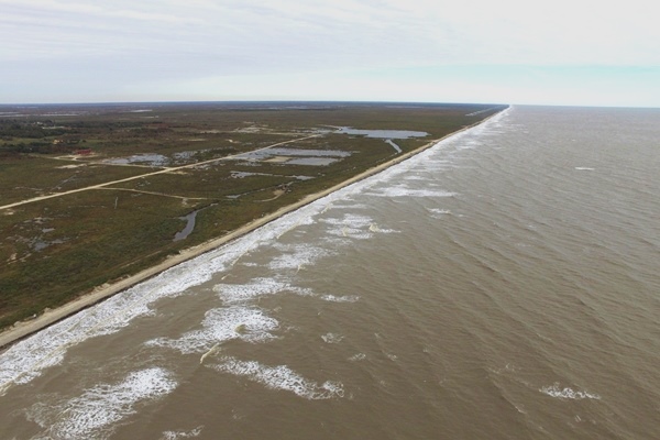
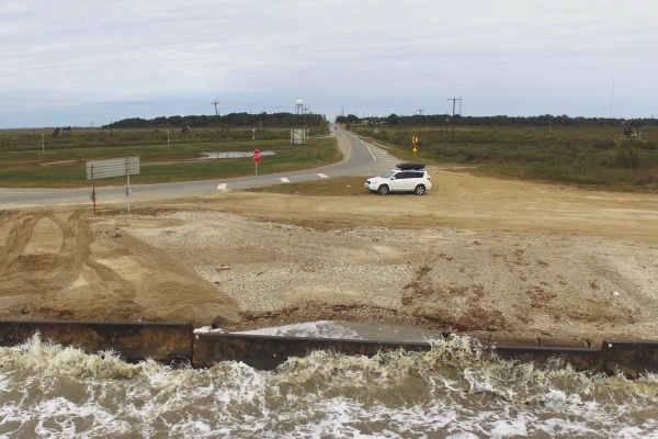
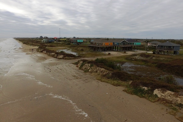
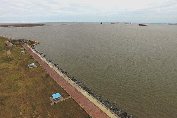
The coastline of Galveston County is over 50 miles long, so if Narváez's boat did skim the coast of southeast Texas, there can be little doubt that it must have touched land in Galveston County at least once. On November 9, the boat would have sailed along the length of the Bolivar Peninsula, a long, narrow strip with some trees and fresh water. In modern times, the Bolivar Peninsula, accessible from Galveston via a public ferry, is the home to several small beach communities. There are also some active oil wells on the east end of the peninsula.
The boat would have crossed the wide pass named Bolivar Roads, the main inlet to Galveston Bay. By the end of November 9, the boat would have been off of Galveston Island, possibly near the present-day city of Galveston. At that location, Galveston Island is a substantial landmass where trees and high ground would have been easy to find. On November 10, the boat would have continued down the west end of Galveston Island and crossed San Luis Pass into Brazoria County.
As stated above, the presence of Narváez and his men in Galveston County and the rest of southeast Texas cannot be confirmed historically; it can, at best, be deduced from the small amount of information we have. One must wonder whether Narváez and his men, if they did stop in Galveston County, had any contact with its natives. Cabeza de Vaca lived in the Galveston Bay area for four and a half years, had contact with at least three of its native tribes, and had no knowledge of Narváez until he left the area. Then again, he had been on the Island of Misfortune and in communication with its natives for several days before he learned about Castillo's group of survivors that was staying only a few miles away, and he only learned about them after he specifically asked the natives where they got a Spanish trinket he noticed one of them was wearing. Between the likelihood that Narváez probably spent no more than one night on Galveston Island, and the fact that the natives did not always report their contacts with visitors, the absence of such reports should not be considered significant.
The Malhado Castaways, November 1528 - April 1529
Two boats from the expedition landed on Follet's Island in Brazoria County. The boat commanded by Captains Alonso del Castillo and Andrés Dorantes landed at the east end of the island, at San Luis Pass, on November 5, 1528. The boat commanded by Cabeza de Vaca and Inspector Alonso de Solís landed some six or seven miles west of the pass. (For our analysis of Follet's Island as the Island of Misfortune, please see our article, "Identifying the Isla de Malhado.") On the day that the two parties found each other, they went to San Luis Pass and attempted to repair and relaunch Castillo's boat, Cabeza de Vaca's boat already having been lost in a similar attempt. The boat sank. As the men stood on the shore of San Luis Pass and looked to the east, back in the direction of Florida, they would have seen Galveston Island on the other side of the pass.
During the winter of 1528-29, many of the castaways on Follet's Island died. The survivors split up into small groups and dispersed, with many of them leaving the place they called the "Island of Misfortune" for other parts in the vicinity. On or about April 1, 1529, Andrés Dorantes rounded up all of the survivors for a march to Pánuco. Some of them were still on the Island of Misfortune, while some were on the mainland. According to the Joint Report, at least two of the survivors were on the island "behind" the Island of Misfortune; that is, the island to the east, in the direction of Florida: Galveston Island.
The texts are very inexact about when these two men went over to Galveston Island; all we know is that they were there on April 1 when Dorantes picked them up. We also do not know whether they were the only two castaways who went to live there, or whether a larger group went, and only those two survived. According to the Joint Report, the two men were "an Asturian cleric" and "a black man." Asturias is the name of a city and a province in Spain, so this cleric or holy man was from there. In other places, the Joint Report refers to this man by the nickname, "Asturiano." The black man was almost certainly Andrés Dorantes's Moor slave, Estevanico, who was the only Narváez Expedition castaway known to be black and who is referred to as "the black man" elsewhere in Joint Report.
The Joint Report implies that Dorantes was on the mainland when he began collecting the survivors who were scattered around west Galveston Bay. With him were his two cousins, Diego Dorantes and Pedro Valdivieso, and Alonso del Castillo. The text implies that these four men traveled first to Galveston Island to pick up Estevanico and Asturiano, then back to Follet's Island to collect six more castaways. If this is right, then six Europeans in total were documented to have been on Galveston Island on or around April 1, 1529.
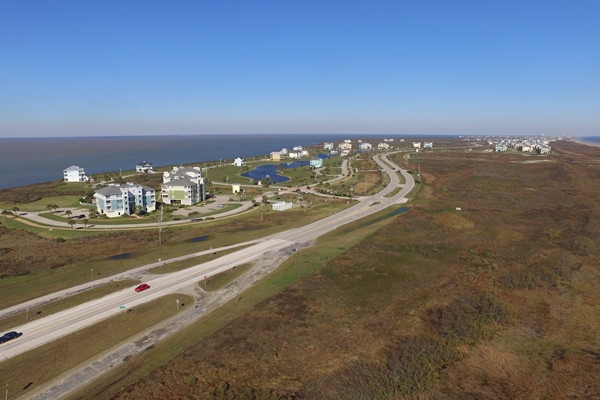
The Joint Report tells us nothing about where on Galveston Island Estevanico and Asturiano lived or where Dorantes met them, but it is natural to assume that they were not too far from the island's western tip. The entire island west of the city of Galveston has long been known as the "west end." It was lightly settled until the mid-20th century, when developers began building subdivisions. The west end is a leisure and vacation community made up largely of retirees and part-time residents; despite having hundreds of homes, it has no schools, and only has a handful of businesses and churches.
Cabeza de Vaca, April 1529 - Spring 1533
Cabeza de Vaca did not leave with Dorantes's group in April 1529. Instead, he stayed in the Galveston Bay area for four more years, spending much of that time as a traveling merchant who traded in dyes, beads, and other wares that the natives valued. Unlike the rest of Cabeza de Vaca's narrative, which documents his travels with some detail, he says almost nothing about where he went during those additional four years. He writes "I journeyed inland as far as I wished," but he leaves no record of any rivers, bays, or other features of the terrain he saw. It is entirely conceivable, however, that his travels took him into mainland Galveston County, and possibly further northward into Harris County and beyond.
Summary
| County | Castaways Who Visited | Dates | Castaways Who Died |
|---|---|---|---|
| Jefferson | Possibly Narváez and ~40 others on his boat | Approx. Nov. 7 & 8, 1528 | None known |
| Chambers | Possibly Narváez and ~40 others on his boat | Approx. Nov. 8, 1528 | None known |
| Galveston | Probably around 50 total, including Narváez and ~40 others on his boat, at least six castaways from the Island of Misfortune (including Dorantes, Castillo, and Estevanico), and Cabeza de Vaca | Nov. 1528 to Spring 1533 | None known |
By David Carson
Page last updated: January 17, 2017
- Cabeza de Vaca, Álvar Núñez - La Relación. Translated to English by David Carson, 2016
- "The Joint Report Recorded by Gonzalo Fernandez de Oviedo y Valdes," translated to English by Gerald Theisen, published in The Narrative of Alvar Nunez Cabeza de Vaca by The Imprint Society, 1972
- Texas State Historical Association - The Handbook of Texas Online