
The Old San Antonio Road in Frio County
The Old San Antonio Road in Frio County
Also see The Old San Antonio Road Posts and Markers in Frio CountyThe Old San Antonio Road as surveyed by V.N. Zively in 1915 cut across the southeastern corner of Frio County. None of the route is preserved. The land here is used for oil drilling and ranching.
Map of the Old San Antonio Road in Frio County
[-]Collapse Map [+]Expand Map
Route Details
- Route lost from the Atascosa-Frio County Line about 0.8 miles south of San Miguel Creek for about 4.2 miles to the Frio-La Salle County Line approximately 3 miles west of the Atascosa-Frio County Line.
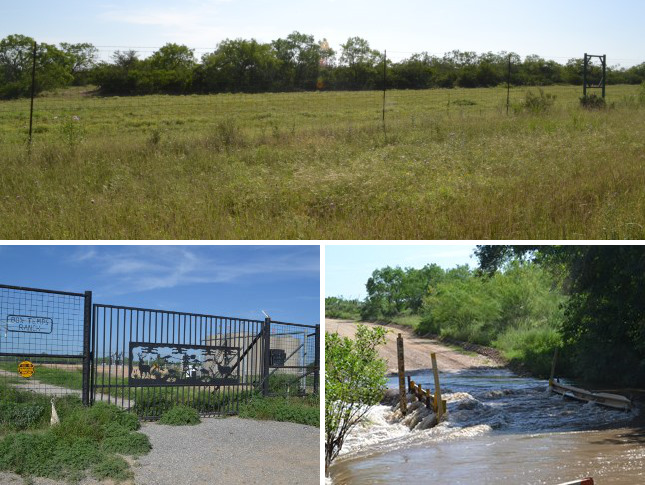
Bottom left: This ranch, like most ranches in this area, is now a producing oil field.
Bottom right: San Miguel Creek was flooded at County Road 3871 during our visit in April 2015.
Cutting the Corner
Zively's route passed near the "four corners" intersection of Atascosa, Frio, La Salle, and McMullen Counties. In doing so, it cut across the southeastern corner of Frio County at approximately a 45-degree angle. Only about 4 miles of Zively's route are in Frio County.
It is unclear whether Zively even knew at the time whether he was in Frio County, or what the county boundaries here were. Ordinarily, any time Zively crossed a county line, he drew the line on his sketch, noted the distance from it to the survey points on either side of it, and placed a survey post there. He did none of that with Frio County, either when crossing into or out of it. In fact, his sketch of the route from survey posts 98 to 99 is simply labeled "Atascosa County." His next page is labeled "Frio and La Salle Counties," with no indication of where the boundary is. Consequently, Frio County is the only county on the Old San Antonio Road that has never had a granite OSR marker on any of its boundaries.
The route that Zively plotted went generally parallel to present-day County Road 3857/3871, a little over a mile east of it. This land is occupied today by the Four Corners Ranch on the north side of FM 1582 and by the FM Ranch on the south side of FM 1582. This is an oil-producing area of the Eagle Ford Shale formation. Most of the land, as well as most of the traffic on FM 1582, is devoted to oil production.
Zively placed the survey post for OSR Marker #99 about 0.4 miles northeast of the Frio-LaSalle County Line, on land now belonging to the FM Ranch.
Page last updated: June 15, 2015
- Zively, V.N. - "Field Notes and Detail Map of the Kings Highway", 1916
- Carson, David - field notes observed and recorded in 2015